
Perth is planned to accommodate 3.5 million people by around 2050, with planning for approximately 800,000 additional homes and 1.2 million jobs across the region.
That growth is more than a population target. It means new communities, roads, earthworks, drainage, utilities and supporting infrastructure, all delivered across a region where existing site conditions need to be understood before construction begins.
For the engineers, contractors, developers and project teams delivering this work, reliable survey information is part of the foundation of the project.
What Does Perth’s Growth Mean on the Ground?
A growing city needs more than buildings. New residential and commercial developments require roads, drainage, services, earthworks and supporting infrastructure to connect communities and support future growth.
The Perth and Peel@3.5million framework provides a coordinated approach to land use and infrastructure planning, supporting greenfield and infill development across the region.
This growth also means continued investment in major infrastructure across Western Australia, with the Office of Major Infrastructure Delivery (OMID) delivering significant public infrastructure projects across the state.
For engineers, contractors and project teams, this means working with existing sites where levels, features, services and surrounding infrastructure need to be understood before design and construction can progress.
Why Existing Site Conditions Matter
Accurate survey data gives engineers and project teams a measured representation of the site they are working with. Depending on the nature of the project, this may include:
- Existing ground levels and contours
- Roads, structures and other site features
- Drainage and other visible infrastructure
- Survey control and reference points
- Existing surface information
- Data required for design and modelling
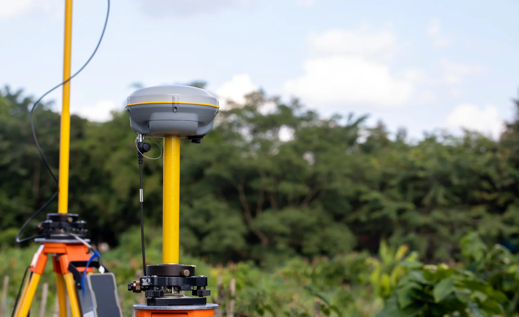
A feature or topographic survey can provide the existing site information required in the early stages of a project, helping engineers and designers develop plans based on measured conditions rather than assumptions.
Surveying Through the Construction Process
Surveying does not stop once the design is complete. As construction progresses, survey information can support different stages of the project.
This can include engineering surveys, construction setout, construction checks, quantity calculations and as-constructed surveys. Accurate setout transfers the design onto the ground, while survey checks verify positions and levels as construction progresses.
At the end of the works, as-constructed surveys provide a record of what was actually built.
The survey requirements vary with the type and stage of each project, but the objective stays the same: provide project teams with reliable information they can use.
Supporting Perth’s Growth Through Surveying
Territory Surveys provides land surveying services across Perth and Western Australia, supporting engineering and construction projects for engineers, contractors, developers and project teams.
Our services include feature and topographic surveys, engineering surveys, construction setout and as-constructed surveys, matched to the requirements of each project.
As Perth grows, so does the need for reliable information on the ground.
Planning a project in Perth or Western Australia? Talk to our team about the survey information your project needs.