Territory Surveys
Reliable Surveying Solutions
Our Mission
To provide accurate, efficient, and honest surveying services that support landowners, builders, and developers across the Northern Territory. We’re here to simplify the complex, deliver on time, and help projects move forward with confidence.
Our Vision
To be the NT’s most trusted survey team, known for our local knowledge, dependable service, and hands-on approach in even the toughest environments.
Surveying Expertise
Our team works closely with contractors and engineers to keep projects on schedule and within tolerance. Whether it’s a complex structure or remote civil works, we bring the technical skill and site experience to deliver results you can build on.

Residential
We assist homeowners, builders, and developers with accurate site measurements, boundary surveys, and construction setouts, ensuring precision and compliance with regulations.
Commercial
Our team provides exact surveying solutions for commercial projects, including retail, office, and industrial developments, delivering reliable results that support successful project outcomes.
Government
We collaborate with local and state government agencies, offering dependable data and mapping services for infrastructure planning, development, and public works initiatives.
"Your Vision, Our Precision"
Expert knowledge of the NT landscape.
Dedicated to delivering reliable results.
Committed to excellence at every stage.
Accuracy and Reliability
Territory Surveys Pty Ltd is known for its team of diverse professionals who assess and provide expert guidance on land, building, and property matters, ensuring informed decisions and accurate results.
Frequently Asked Questions
Territory Survey is a team of surveyors located in Darwin, who carry out a survey in the whole Northern Territory. We provide the necessary accurate and detailed data for the projects to be planned and delivered to the homeowners, builders, developers, as well as government agencies. Our emphasis is on feasible solutions, transparency in communication and outcomes that you can trust.
We offer a complete range of surveying services in the Northern Territory. This means you deal with one team from start to finish. Our services include:
- Land Surveying to establish property boundaries and legal descriptions.
- Detail and Feature Surveys to map existing site levels and features for planning and design.
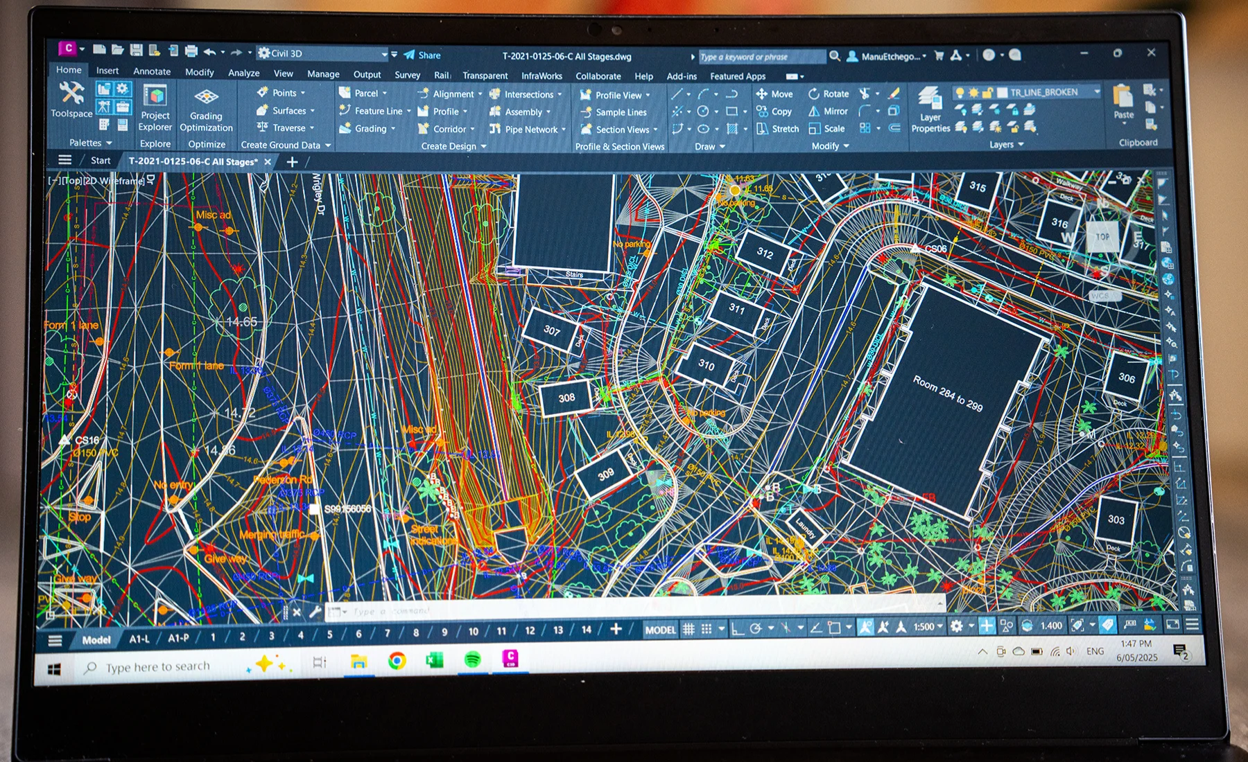
- Drafting to turn survey data into clear, professional plans.
- Engineering Surveys to support infrastructure and civil projects.
- Civil Surveys for the design and construction of roads, services and earthworks.
- Volume Calculations to work out how much material needs to be moved on site.
- Construction Survey and Set-Out to make sure buildings and infrastructure are positioned correctly.
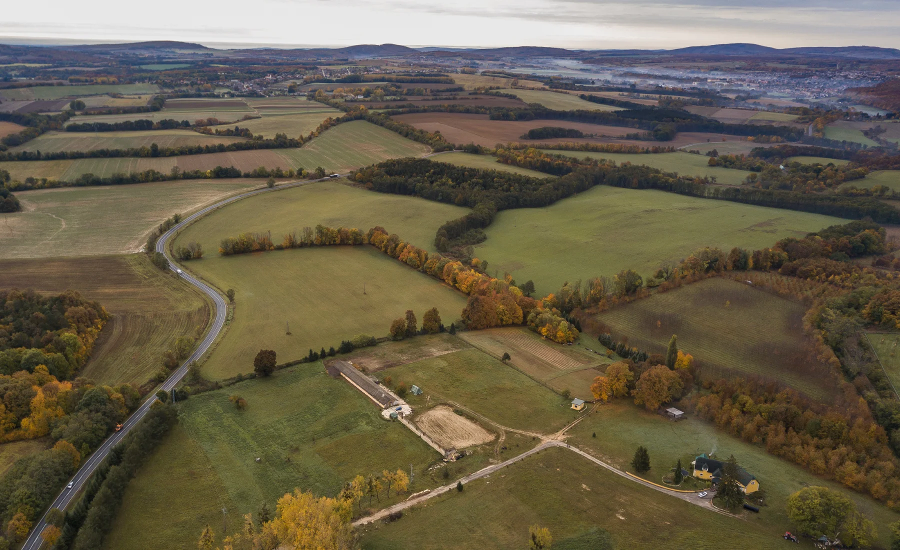
- Drone Surveys to capture aerial data for large or hard-to-access areas.
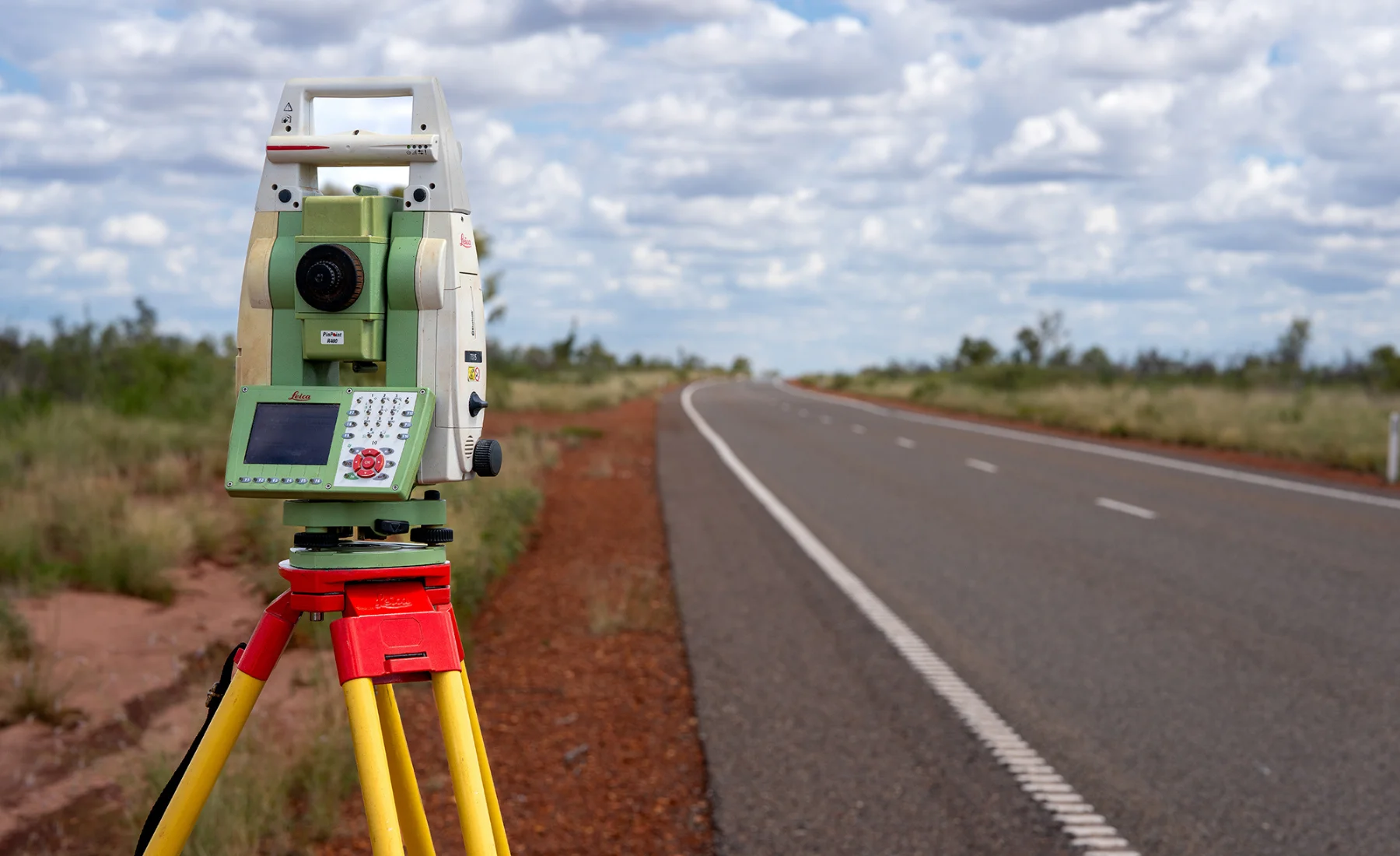
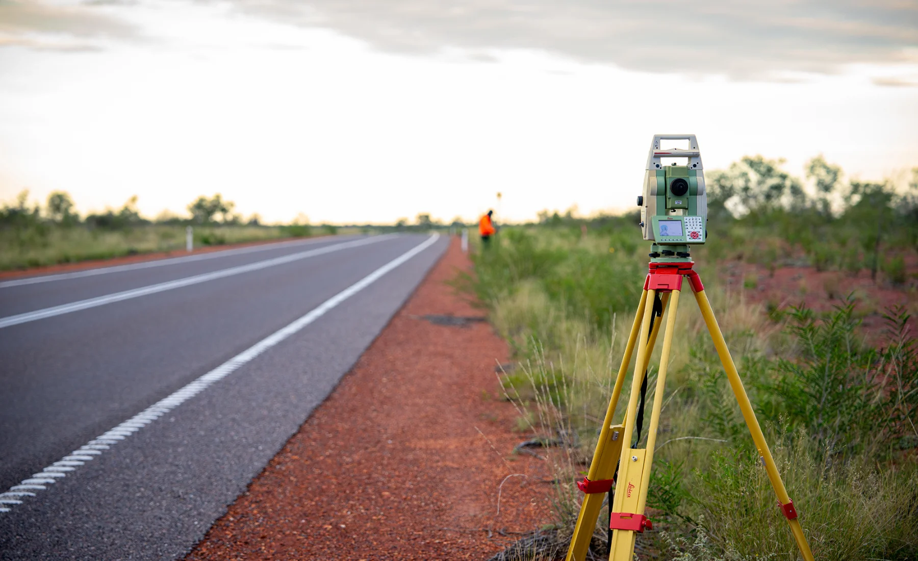
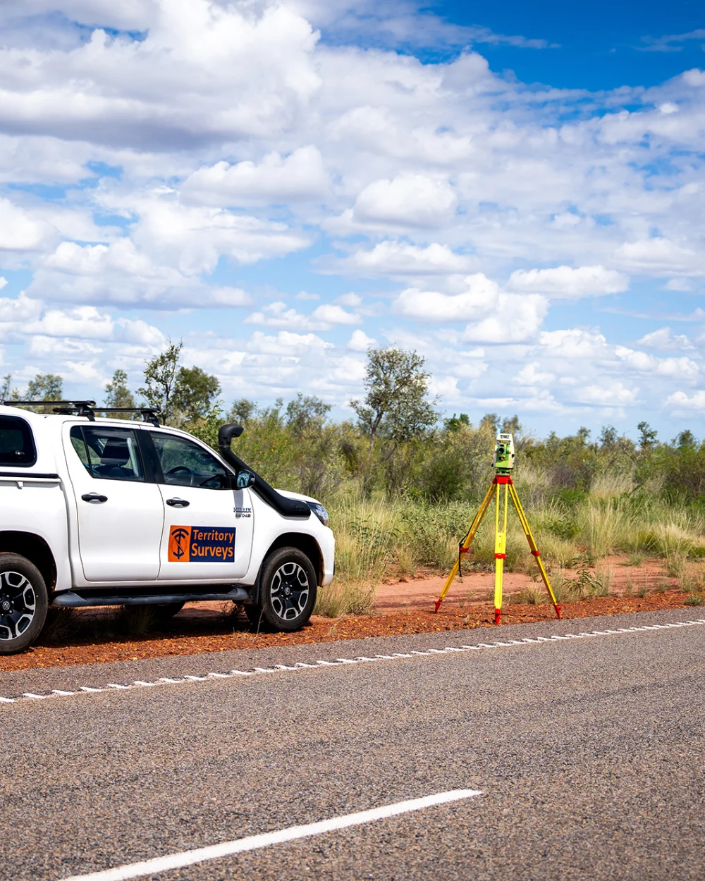
A land survey involves measuring and mapping a property’s boundaries, features, and elevation using specialised instruments. Surveyors use GPS, drones, and total stations to collect data. The results are then converted into detailed plans that show boundary lines, improvements, and topographic details used for design, construction, and legal documentation. Territory Surveys follow strict Australian standards to ensure every survey meets accuracy and compliance requirements.
A survey confirms the true boundaries of a property and identifies any encroachments or easements. It protects you from boundary disputes, helps avoid construction errors, and ensures compliance with local council and land title regulations. Without a survey, you risk building outside your property limits or purchasing land with hidden legal issues.
We work with a mix of clients. Homeowners come to us for boundary identification or planning small extensions. Commercial developers use us to support new builds and subdivisions. Government agencies rely on our data for roads, utilities and other public works. Because we handle all scales of work, we know how to meet different regulatory requirements.
Costs vary based on land size, location, terrain, and available records.
• Urban sites with easy access are usually more affordable.
• Rural areas with rough terrain or unclear boundaries cost more.
• Projects needing extra legal verification may require additional time and expense.
Territory Surveys provides clear, itemised quotes so you know exactly what to expect before work begins.
Old boundary marks help but must be verified by a licensed surveyor. Land boundaries can shift over time due to erosion, construction, or record inaccuracies. A surveyor checks all existing marks against legal titles and updates records if needed.
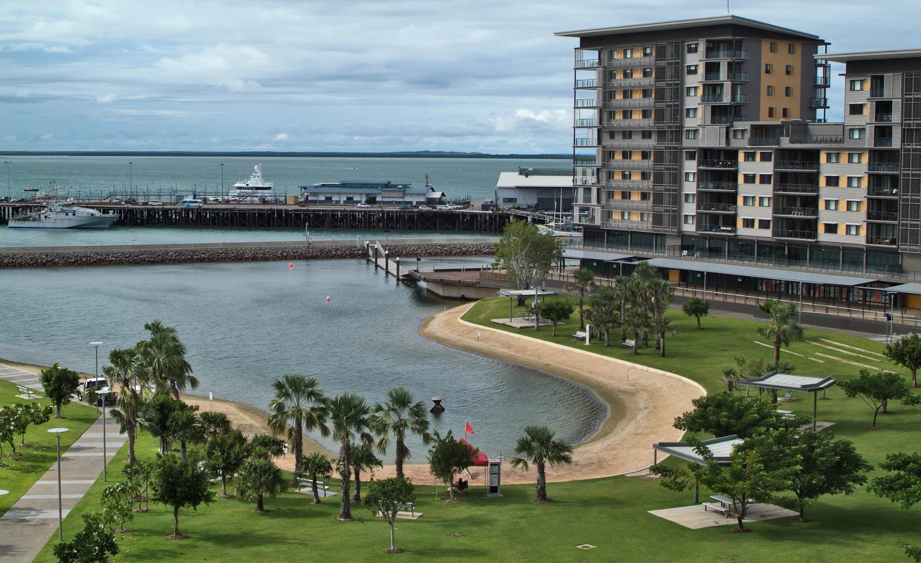
A Darwin-based surveyor understands the region’s land conditions, climate, and council requirements. Territory Surveys operates locally, ensuring fast response times and accurate surveys that comply with Northern Territory regulations. Their local knowledge helps projects move smoothly from planning to completion.
After fieldwork, the surveyor analyses the data and prepares a certified plan. The plan can be used for council submissions, legal registration, or construction layout. Territory Surveys provides clients with both digital and printed copies of survey reports for use in design, development, and legal documentation.
Getting a quote is simple. Our business hours are from 8:00 am to 5:00 pm, Monday to Saturday. You can either call us at 0439 336 567 or send us an email at manu@territorysurveys.com.au. We will check your project with you and provide a price according to the range and complexity of the work.