
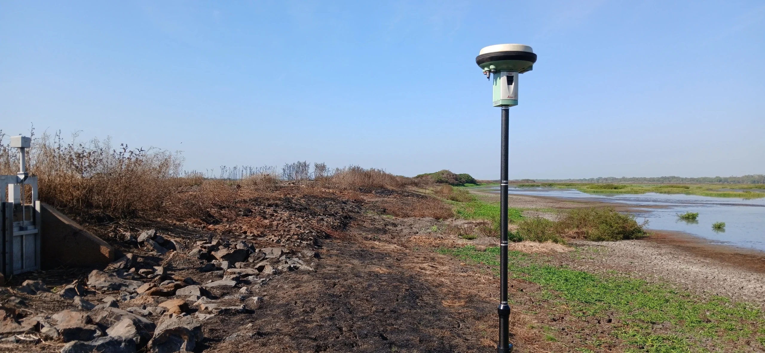
Engineering projects start with an accurate understanding of the existing site. At Harrison Dam, in the Northern Territory, Territory Surveys completed an engineering survey to capture detailed elevation and surface information across the project area.
The survey was completed in accordance with the Northern Territory Government’s Standard Specification for Engineering Survey (SSES) and provided the project team with reliable information to support design and planning.
Engineering Survey Data for Design
The field survey captured the information required to understand the existing site, including:
- Cross-sections at 20 metre intervals, including changes in grade and alignment
- Top and bottom of bank levels
- Detailed survey points and linear features
- Surface information across the survey area
- A 3D CAD file prepared to project requirements
Survey data was captured using GPS and referenced to the Map Grid of Australia (MGA) for horizontal positioning and the Australian Height Datum (AHD) for elevation.
Survey Deliverables for Engineering Projects
For civil and infrastructure projects, survey data needs to be both accurate and usable within the design process.
The information collected at Harrison Dam gives engineers a detailed representation of the existing levels, surfaces and features across the project area. Cross-sections and elevation data can support design development, modelling and quantity calculations, while the 3D CAD deliverable provides a practical format for integration into engineering workflows.
Providing the right information in the right format helps project teams move efficiently from site investigation to design.
Engineering Survey Support Across the Northern Territory
Harrison Dam is one example of the engineering survey work Territory Surveys provides for civil, infrastructure and development projects across the Northern Territory. We work with engineers, contractors and project teams to understand what information is needed for design and planning, and deliver survey data that can be used throughout the project.
From topographic data and construction setout to as-constructed surveys, Territory Surveys provides practical surveying support from initial site information through to construction.
Need an engineering survey for your next project? Talk to our team about your project.