

When you are planning a civil, construction or infrastructure project, choosing between an engineering survey and a topographic survey at the right stage can make a significant difference to the design and construction process.
Both surveys provide accurate site information, but they serve different purposes. A topographic survey tells you what is on the site. An engineering survey provides the survey support needed to design, build and verify the project. Understanding the difference can help engineers, designers, contractors and project teams define the right survey scope from the start.
What Is a Topographic Survey?
A topographic survey records the existing conditions of a site. It gives engineers and designers an accurate picture of the terrain and existing features before design or construction begins.
A topographic survey can capture:
- Ground levels and contours
- Slopes and changes in elevation
- Existing buildings and structures
- Roads, kerbs and footpaths
- Drainage features
- Visible services
- Other relevant site features
This information gives engineers and designers a reliable basis for engineering design, development planning, drainage, earthworks and construction planning.
In simple terms, a topographic survey helps answer the question: what is already there?
What Is an Engineering Survey?
An engineering survey supports the design, construction and verification of a project. The scope is set by the project requirements and can include:
- Survey control
- Construction setout
- As-constructed surveys
- Levels and alignment checks
- Earthworks surveys
Engineering surveying can continue through different stages of a project, from establishing control and supporting design through to construction and final verification.
It helps answer a different question: how do we accurately position, build and verify the design on the ground?
Which Survey Does Your Project Need?
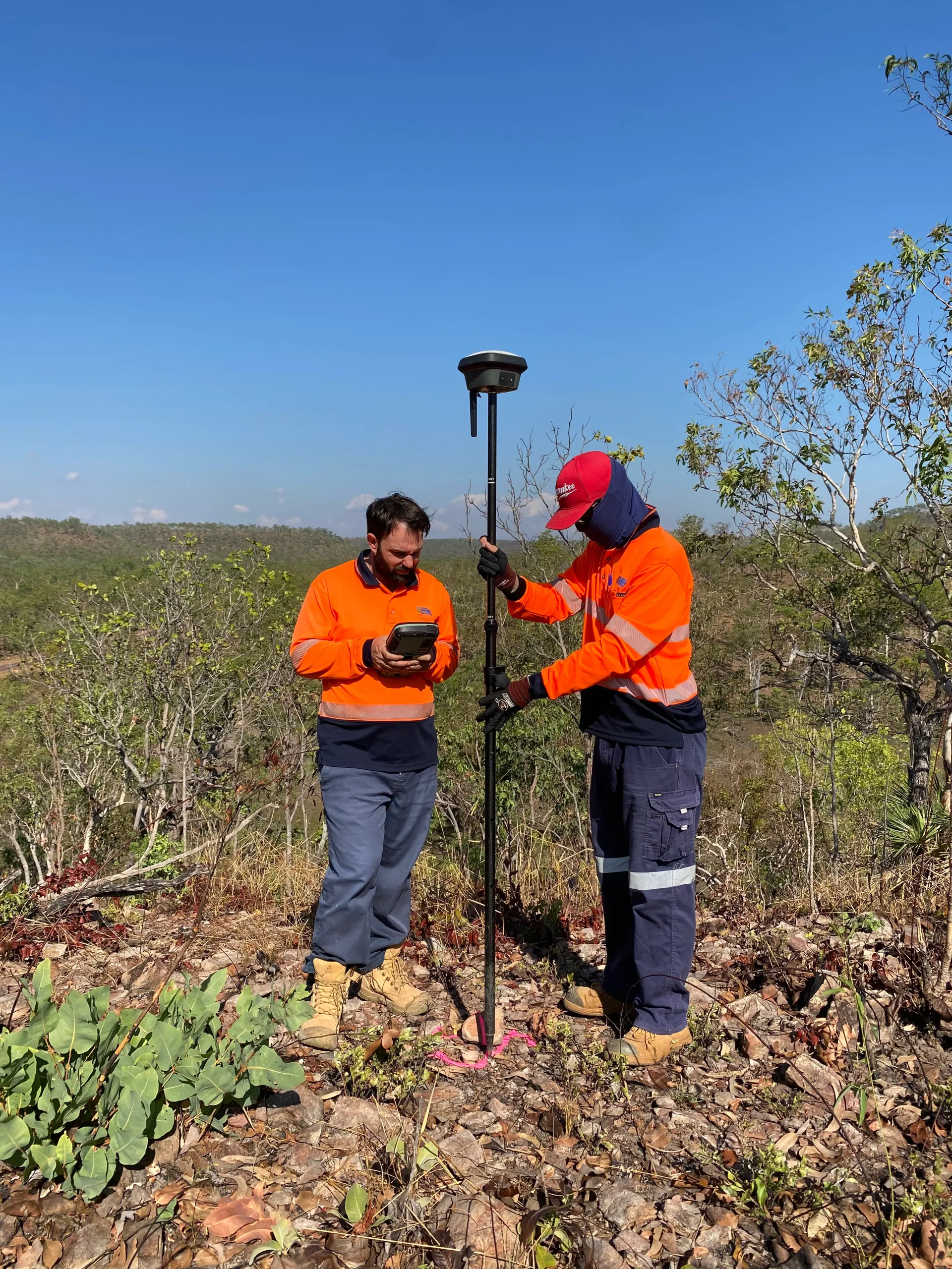
For many construction, civil and infrastructure projects, both surveys form part of the overall survey scope.
A typical project may move through stages such as: existing site conditions, a topographic survey, design, an engineering survey, construction setout, verification and an as-constructed survey.
A topographic survey provides the existing site information needed for design. As the project moves into construction, engineering surveying can support survey control, setout, level and alignment checks, and as-constructed surveys. The exact survey requirements are set by the project stage and design requirements.
At Territory Surveys, we support engineers, contractors, developers and government agencies across the Northern Territory and Western Australia, including Darwin and Perth.
Planning a project and unsure what survey information you need? Talk to our team.