Before construction can begin, project teams need to understand what is actually on the site.
Where are the existing structures? What are the ground levels? Where are the property boundaries? And do the plans match the conditions on site?
Accurate construction survey data provides the information engineers, builders and project teams need to plan, design, set out and check construction works.
Understand What Is Already on the Site
A site may look straightforward, but differences in ground levels, structures and other features can affect the way a project is designed and built.
A topographic or feature survey can capture information such as:
- Ground levels and contours
- Buildings and existing structures
- Driveways, fences and retaining walls
- Roads and other visible features
- Other site information relevant to your project
Having current information about the existing site allows project teams to work from measured data rather than assumptions.
Start Design With Reliable Site Information
Accurate survey data is often one of the first inputs required for a construction project. Engineers, architects and designers can use existing ground levels, features and site information to develop plans that respond to actual site conditions.
Identifying differences between existing conditions and available plans early can also help project teams address potential issues before construction begins.
Confirm Boundaries Before Construction
Property boundaries can be critical when a project involves new buildings, extensions, fences or other works close to neighbouring properties.
A boundary or cadastral survey can help establish the relevant property boundaries and provide the information required for planning and construction. For projects involving multiple lots, a land subdivision survey may also be required.
Set Out the Works on Site
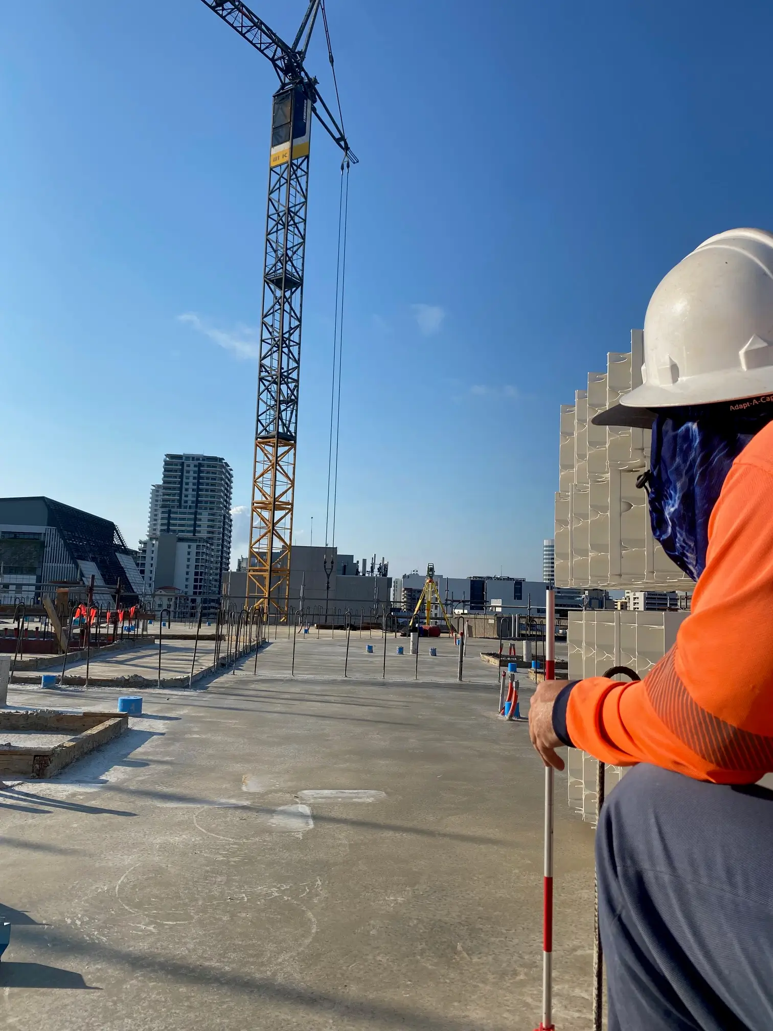
Once the design is ready, surveying continues to play an important role during construction. A construction setout survey transfers the positions and levels from the design onto the site, helping builders locate structures and other elements where they are designed to be built.
Setout can be required for building elements, roads, drainage, foundations and other construction works.
Check Construction Against the Design
Surveying does not necessarily stop once construction begins. Survey checks can be used to verify positions, levels and completed works against the design requirements. These checks can include construction checks and as-constructed survey data.
Regular survey information gives project teams a consistent reference as construction progresses.
Choose the Right Survey for Your Project
Different stages of a project require different types of surveying.
You may need a topographic or feature survey to understand the existing site, a boundary or cadastral survey to establish property boundaries, or a construction setout survey to transfer the design onto the ground.
Other projects may require engineering surveys, service locating, drone surveys or other specialist surveying services.
If you are not sure which survey your project requires, our team can help you identify the information needed for the next stage.
Surveying Support Across the Northern Territory and Western Australia
Territory Surveys works with surveyors, property owners, builders, engineers, contractors and project teams across the Northern Territory and Western Australia.
From initial site information and design through to construction and verification, we aim to give project teams the reliable survey information they need at each stage of the job.
Not sure which survey your project needs?
Talk to our team about your project.