Service Locating
Our Service Locating Experience
-
Underground service locating
-
GPR and electromagnetic locating
-
Utility mapping
-
Survey of located services
-
BYDA investigation
-
Service plans and digital deliverables
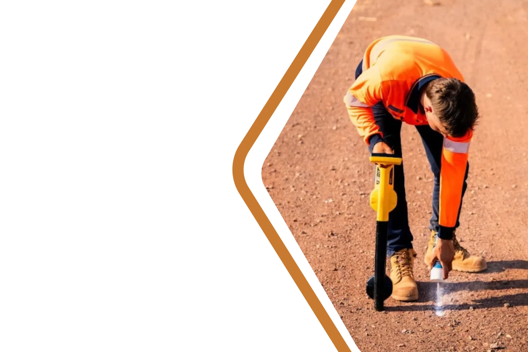
Know what's underground before you dig.
Before excavation begins, understanding what’s below the surface is essential. Existing records can be incomplete, outdated or inaccurate, increasing the risk of service strikes, delays and costly rework.
Territory Surveys combines Ground Penetrating Radar (GPR), electromagnetic locating and survey-grade mapping to provide reliable underground service information before excavation begins.
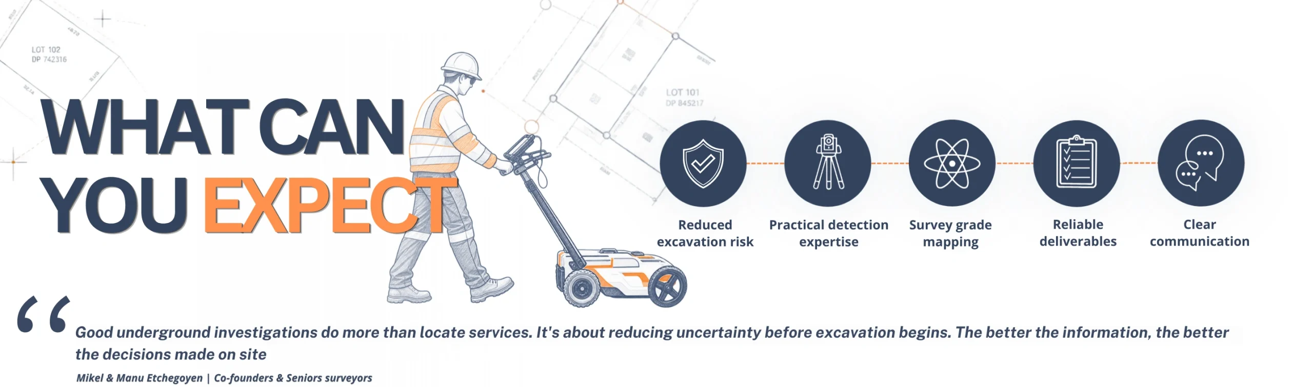
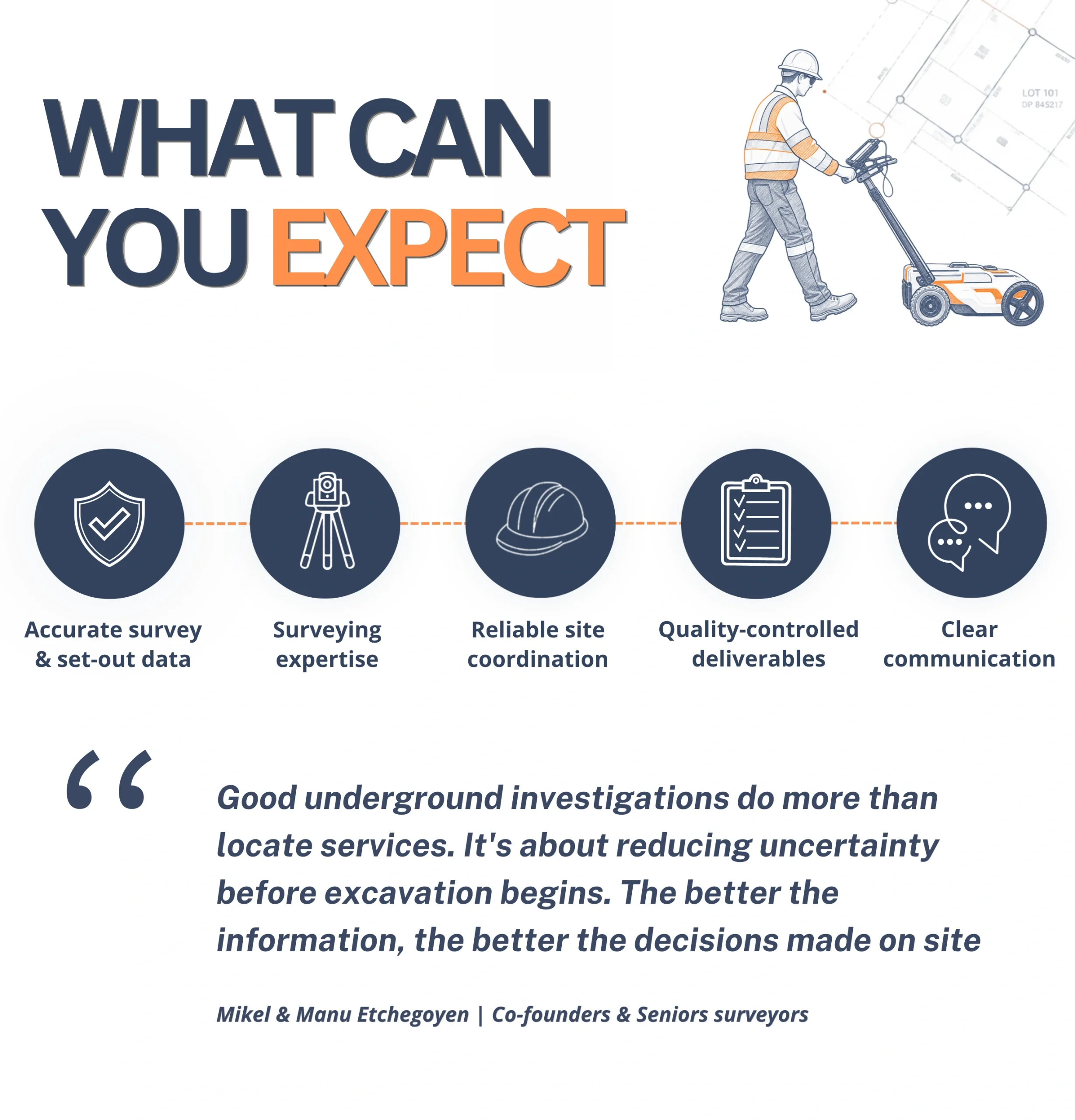
A practical Process Before Excavation
Safe excavation starts well before the first bucket hits the ground. We work alongside contractors and engineers to help identify underground services and reduce the risk of costly strikes before excavation begins.
LET’S TALK ABOUT YOUR PROJECT
Contact Us
Tell us what you’re working on.
We’ll help you find the right surveying solution.
F.A.Q.
Locating underground services before excavation helps reduce the risk of service strikes, project delays, unexpected costs and safety issues. Accurate service information allows contractors and engineers to plan excavation with greater confidence before work begins.
No locating method can guarantee the detection of every underground service. Results depend on factors such as service depth, material, ground conditions and available information. By combining GPR, electromagnetic locating and survey mapping, we provide the most reliable information possible before excavation.
Existing service plans are an important starting point, but they may not always reflect current site conditions. Services may have been installed, moved or recorded inaccurately over time. Locating helps verify what is actually below ground before excavation begins.
Yes. A Before You Dig Australia (BYDA) enquiry remains an important first step before excavation. However, service plans may not show the exact location or depth of underground assets. Additional locating and survey mapping can provide further site verification.
GPR and electromagnetic locating use different technologies to identify underground services. Electromagnetic locating is effective for conductive services such as metallic pipes and cables, while GPR helps identify subsurface features using radar technology. Together, they provide a more complete picture of underground conditions.
Underground services should be located before excavation, construction planning, detailed design or any work that involves disturbing the ground. Early investigation helps identify potential conflicts and reduces the risk of delays or costly changes later in the project.